
Learning about our local area
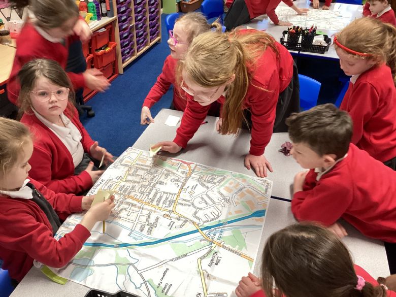
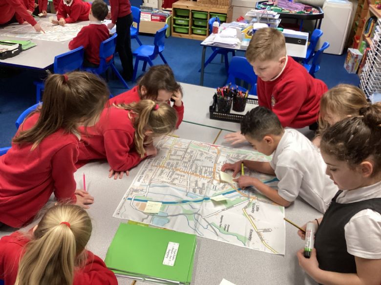
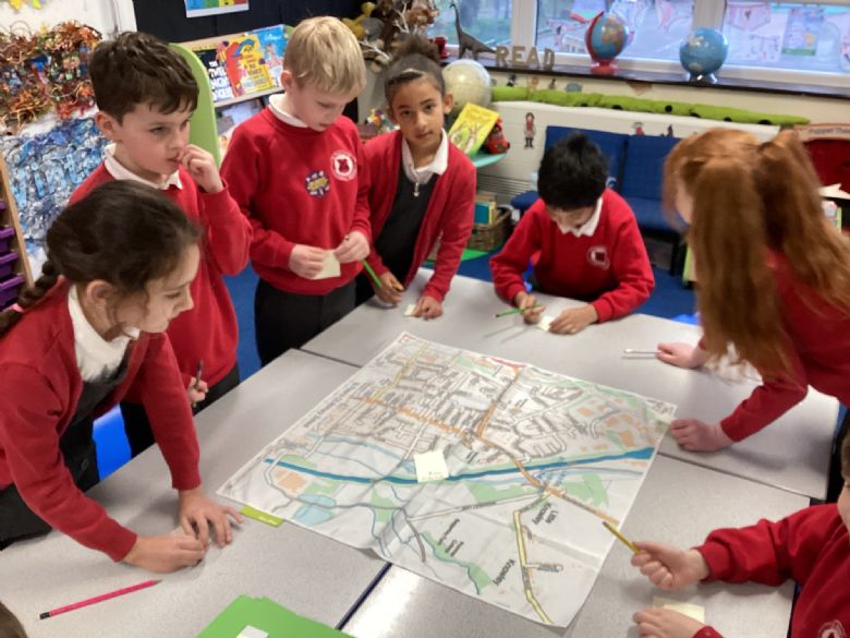
We have found our local area on Digimaps and physical maps. We were able to locate our school and talk about what the map showed us, such as buildings and roads. We labelled the street map.

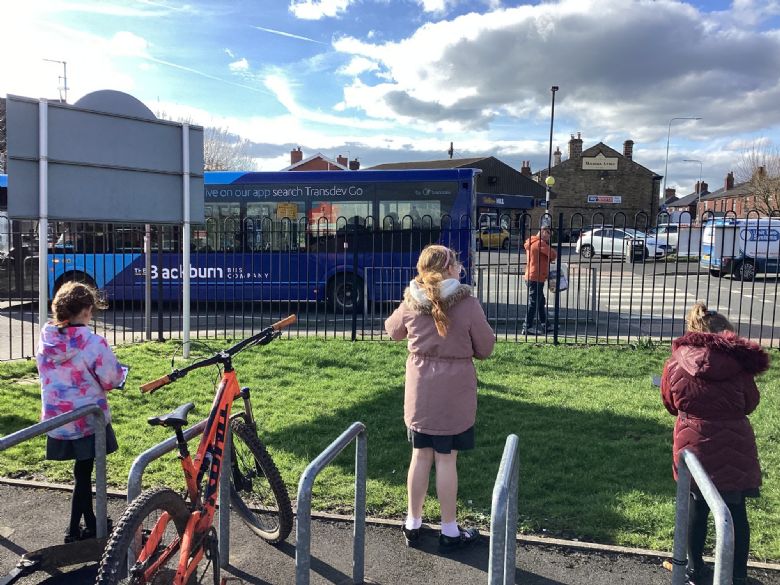
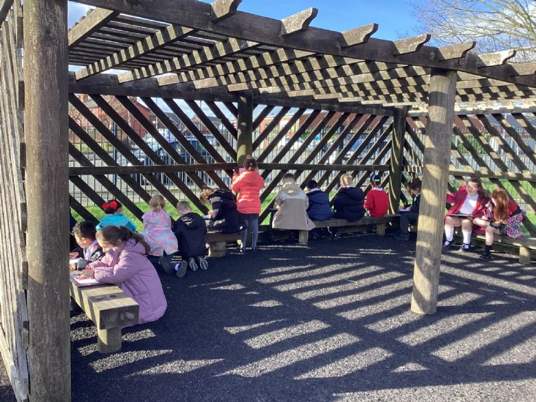
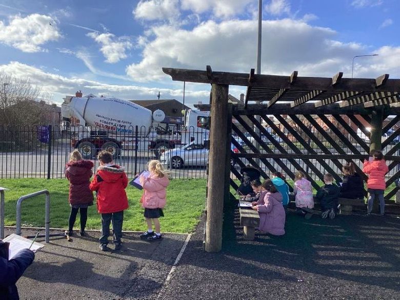
We recalled the 4 main compass points and then went into our local area to record what we could see at each point.
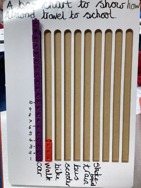
We completed a class survey to show how we travel to school. Most children travelled by car. We then completed a travel survey to show the traffic flow outside school. We created a tally chart to show this information. The most popular vehicle was a car.
No photo albums have been added to this gallery yet.