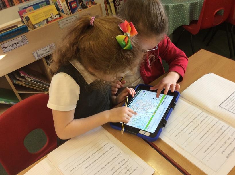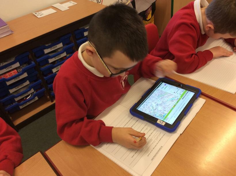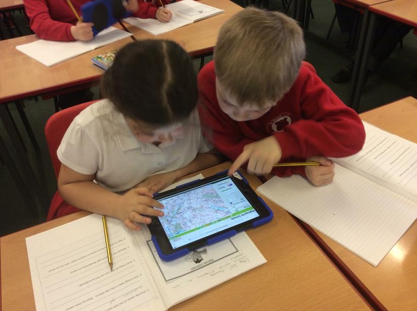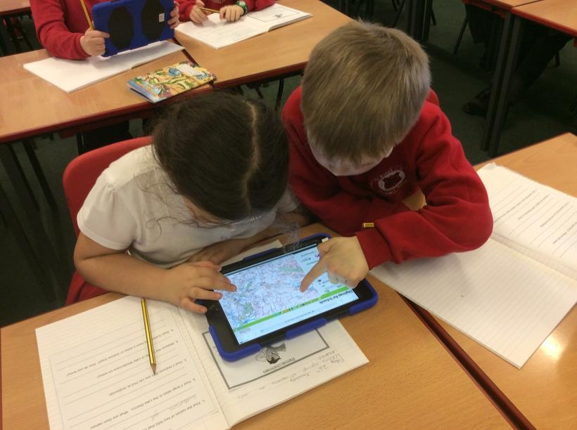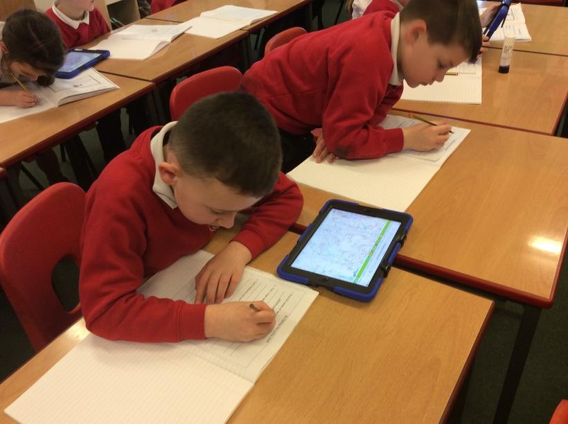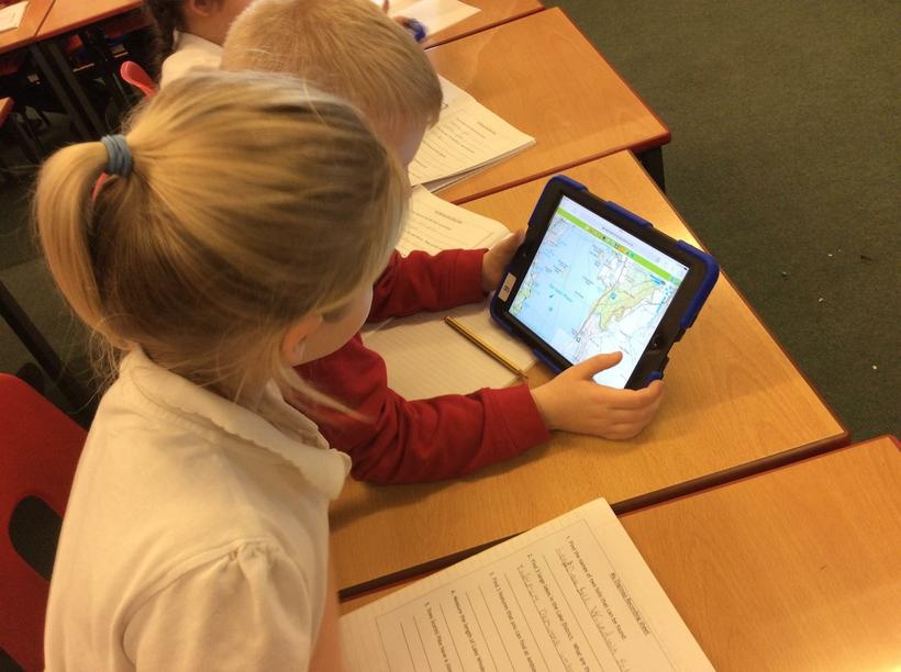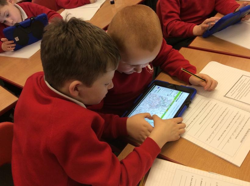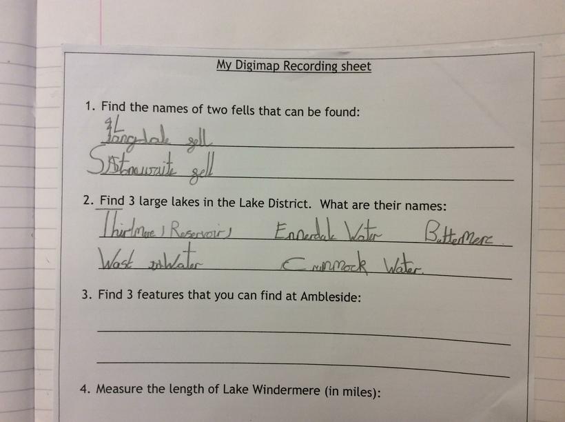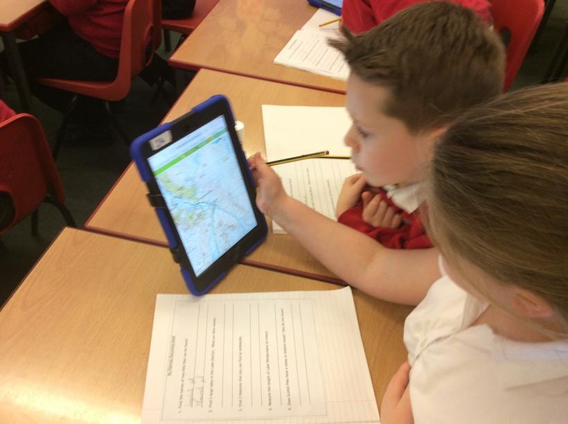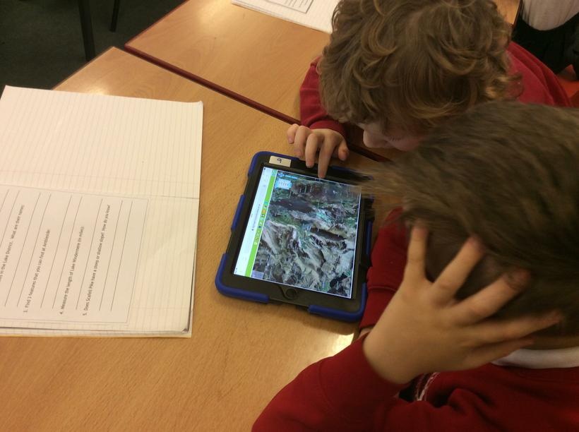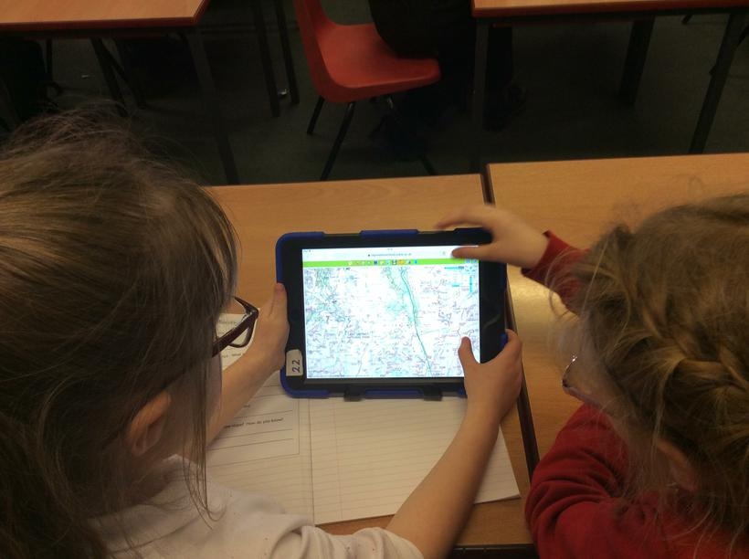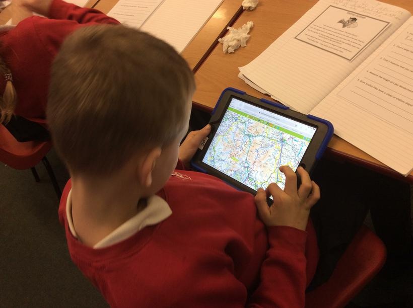
LKS2 worked with Digimaps to explore the Lake District.
We had to locate the names of some big rivers using the digital maps, as well as measure points and explore contour lines of Scafell Pike! We could even investigate what the Lake District looked like on a map from the 1890s and 1950s!

5ccf793a4e154b31909c090c8a01ca6f1x1
5ccf793a4e154b31909c090c8a01ca6f1x1.jpg132595ccf793a4e154b31909c090c8a01ca6f1x1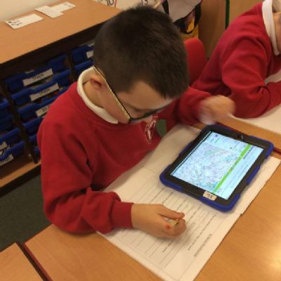
30ce507ae7bd414f91fa9851e46ea4b71x1
30ce507ae7bd414f91fa9851e46ea4b71x1.jpg1325830ce507ae7bd414f91fa9851e46ea4b71x1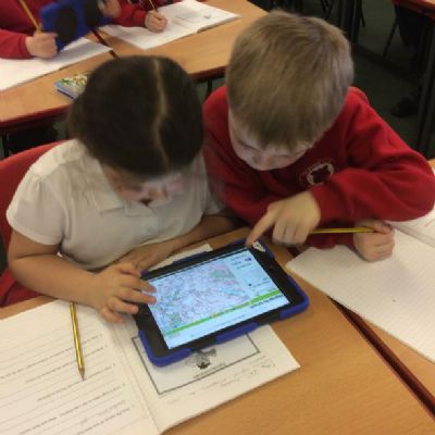
3bc9bd11989544b48d363ba6d6c8150b1x1
3bc9bd11989544b48d363ba6d6c8150b1x1.jpg132573bc9bd11989544b48d363ba6d6c8150b1x1
1c5d7aecaedf478d8a109c857bd15c231x1
1c5d7aecaedf478d8a109c857bd15c231x1.jpg132561c5d7aecaedf478d8a109c857bd15c231x1
2999fcff062d4d249cbf484569af02451x1
2999fcff062d4d249cbf484569af02451x1.jpg132552999fcff062d4d249cbf484569af02451x1
bba1c111da3049bc9886757415ec03fc1x1
bba1c111da3049bc9886757415ec03fc1x1.jpg13254bba1c111da3049bc9886757415ec03fc1x1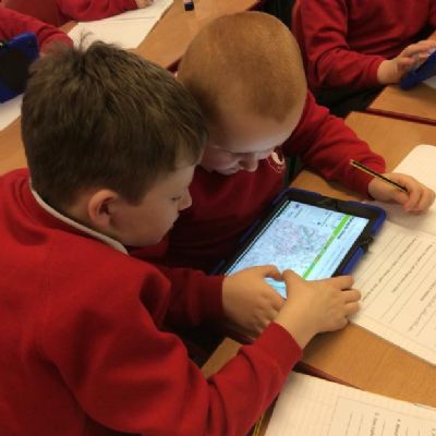
e93665dcb03949c7b334d23ea61b22c61x1
e93665dcb03949c7b334d23ea61b22c61x1.jpg13253e93665dcb03949c7b334d23ea61b22c61x1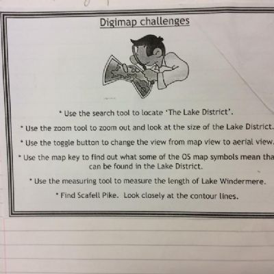
021dbd0e491a4911ac045d72a31cd4011x1
021dbd0e491a4911ac045d72a31cd4011x1.jpg13252021dbd0e491a4911ac045d72a31cd4011x1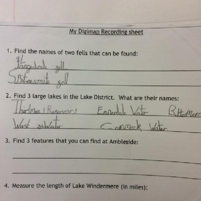
a581b3145af644d2ab8d193e1f53a7411x1
a581b3145af644d2ab8d193e1f53a7411x1.jpg13251a581b3145af644d2ab8d193e1f53a7411x1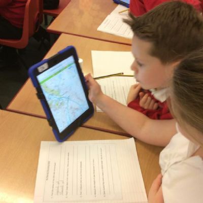
cefcb0b551f84871a08013f3368907101x1
cefcb0b551f84871a08013f3368907101x1.jpg13260cefcb0b551f84871a08013f3368907101x1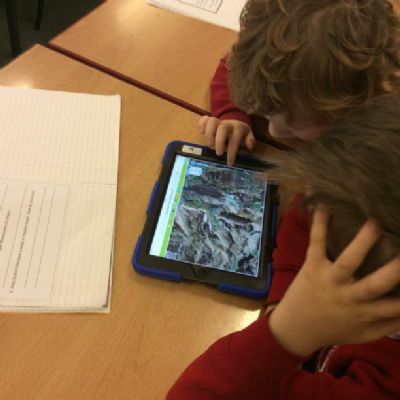
e4df356f346840cfabc23a36a95309ed1x1
e4df356f346840cfabc23a36a95309ed1x1.jpg13261e4df356f346840cfabc23a36a95309ed1x1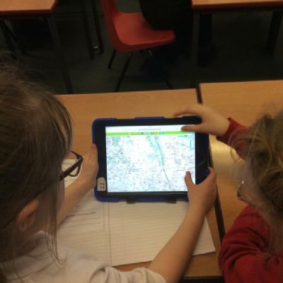
89967e3a73dd47f1bf2e4e31f079bd661x1
89967e3a73dd47f1bf2e4e31f079bd661x1.jpg1326289967e3a73dd47f1bf2e4e31f079bd661x1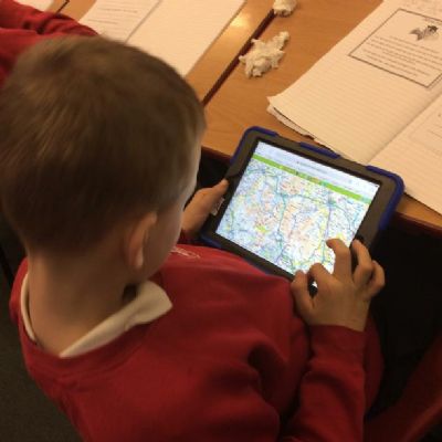
1338dc600eb846c8a7775a33b44516811x1
1338dc600eb846c8a7775a33b44516811x1.jpg132631338dc600eb846c8a7775a33b44516811x1